Your guide to Verrado
An unofficial, resident-friendly guide to the Verrado community — parks and trails, Main Street, schools, city services, and what's happening around Buckeye's West Valley.
Around the Community
The essentials, one click away
Featured Places
- Verrado Main Street District
The walkable town center of Verrado — tree-lined Main Street with shops, restaurants, offices, and community gathering spaces.
- Heritage Swim Park
Resident resort-style aquatic facility in the Heritage District with a recreation pool, kids' pool, splash pad, and BBQ areas.
- Verrado Golf Club
Two 18-hole championship courses — the Founders Course and the Victory Course — set against the White Tank Mountains.
- White Tank Mountain Regional Park
Maricopa County's largest regional park — roughly 30,000 acres with about 26 miles of trails, a nature center, and camping — directly adjacent to Verrado.
- Verrado High School
Public high school in Verrado, operated by the Agua Fria Union High School District.
Districts & Neighborhoods
- Main Street District
The original heart of Verrado — homes surrounding the walkable Main Street town center, with shops, restaurants, and community events steps away.
- Heritage District
A family-oriented district anchored by Heritage Swim Park and Verrado Heritage Elementary School.
- Highlands District
A newer district in Verrado's higher desert terrain, closer to the White Tank Mountain foothills.
- Victory (55+ Active Adult)
Verrado's 55+ active-adult district in the northern foothills, with the private Victory Club and the Victory golf course.
Local News & Updates
- Buckeye AZ City Council Decisions, Development Projects, and Zoning News (Last 7 Days) 2026-08-31
- Verrado and Buckeye, Arizona Local News (Last 168 Hours) 2026-08-29
- Buckeye AZ City Council Decisions, Development Projects, and Zoning News (Last 7 Days) 2026-08-29
- Verrado and Buckeye, Arizona local news in the last 168 hours (last 7 days): community dev 2026-08-28
How this site works: Listings link to official sources wherever possible, and news roundups are compiled automatically from public reporting, then filtered before publishing. This is an unofficial community resource — see the disclaimer, and suggest a correction if something's off.
Guides for Residents & Newcomers
Original, practical, and linked to official sources
Getting Around: Buckeye & the West Valley
How Verrado connects to the rest of the Phoenix metro — I-10, Loop 303, commute realities, and what to know about West Valley driving.
Read the guide →Moving to Verrado: What to Know
A practical overview for anyone considering a move to Verrado — location, districts, costs to understand, schools, and where to verify the details.
Read the guide →New Resident Checklist
Everything to set up when you move to Verrado — utilities, driver license, voter registration, schools, and community association contacts.
Read the guide →Schools Serving Verrado
The public schools and districts serving Verrado — Litchfield Elementary School District #79 and the Agua Fria Union High School District.
Read the guide →Verrado HOA & Community Association Basics
How Verrado's community governance works — the Verrado Community Association, the Verrado Assembly, the Victory District Association, and the city CFDs.
Read the guide →Verrado Outdoors: Trails & the White Tank Mountains
Hiking, biking, and desert recreation around Verrado — White Tank Mountain Regional Park, Skyline Regional Park, and the community's own parks and paths.
Read the guide →At the base of the White Tanks
The White Tank Mountains rise directly behind the community — with a county regional park, a city mountain preserve, and the community's own network of parks and paths in between.
Explore Parks & Trails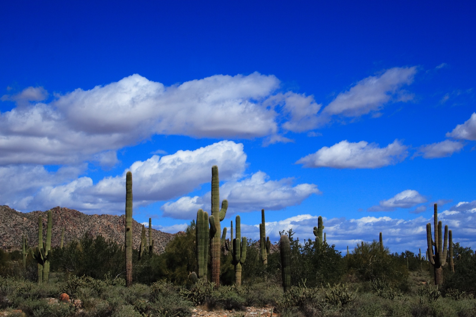
Where is Verrado?
Verrado sits on the far west side of the Phoenix metro in Buckeye, Arizona — north of I-10 at Verrado Way (Exit 120), about 25 miles from downtown Phoenix, tucked against the White Tank Mountains.
Getting around the West Valley →About This Guide
Careful with facts, generous with links
Links to Official Sources
Every listing points to the official site — verrado.com, buckeyeaz.gov, school districts, and county pages — so you always get current, authoritative details.
Independent & Unofficial
This site is not affiliated with DMB Associates, the Verrado Community Association, or the City of Buckeye — it's an independent resident-oriented guide.
Community-Corrected
Residents can suggest new listings and corrections, and weekly automated news roundups keep the local feed current.