2026-07-06
Verrado Outdoors: Trails & the White Tank Mountains
Hiking, biking, and desert recreation around Verrado — White Tank Mountain Regional Park, Skyline Regional Park, and the community's own parks and paths.
Verrado sits at the base of the White Tank Mountains, and outdoor access is one of the community's defining features. Here's the lay of the land — always check official park pages for current hours, fees, and seasonal closures.
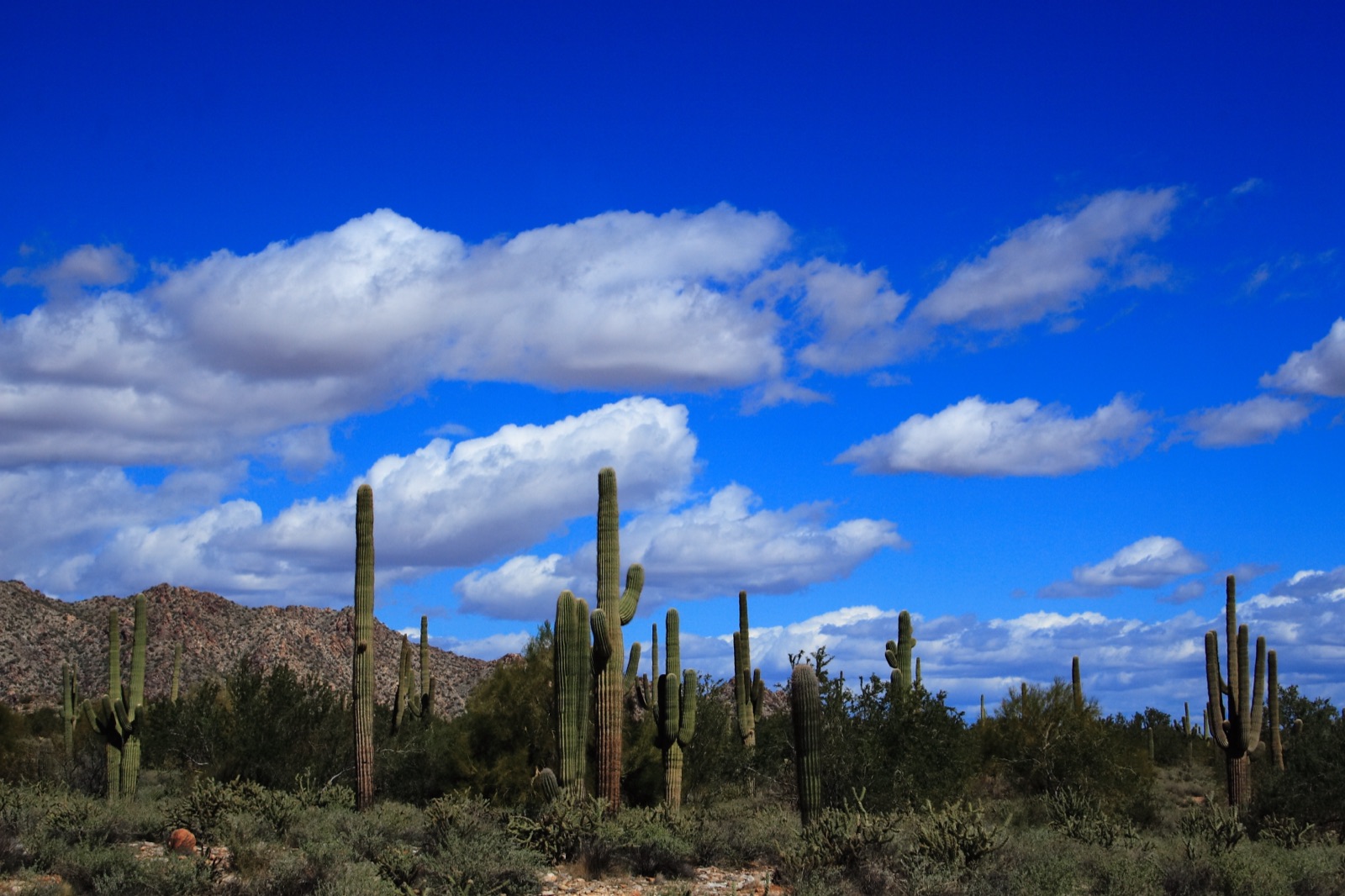
White Tank Mountain Regional Park
White Tank Mountain Regional Park is the largest park in the Maricopa County system, covering roughly 30,000 acres of Sonoran Desert immediately north and west of Verrado. Highlights:
- About 26 miles of trails for hiking, mountain biking, and horseback riding.
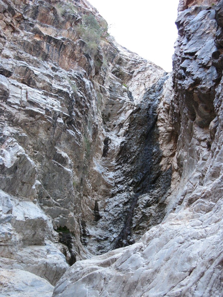
- The Waterfall Trail — a short, popular trail to a canyon that flows after rains, with petroglyphs along the way.
- A nature center operated with Arizona Game & Fish, plus family and group campgrounds.
The county charges a per-vehicle entry fee; check the park page for current rates and hours.
Skyline Regional Park
Skyline Regional Park is the City of Buckeye's roughly 8,700-acre mountain preserve in the southern White Tanks, a short drive from Verrado. It offers hiking, mountain biking, and equestrian trails, trailhead facilities, and camping — with free entry.
Inside the community
Verrado's own park system is extensive — the official site cites more than 86 neighborhood parks connected by tree-lined streets and walking paths. Community paths climb toward the foothills on the north side, and the upper districts (Highlands, Victory) sit closest to the mountain terrain. Rules for community parks and paths are set by the community association; see verrado.com for details, and our Parks & Trails page for the named parks we've verified.
Desert safety basics
- Heat is the real hazard. From roughly May through September, hike at dawn, carry more water than you think you need, and stay off exposed trails in the afternoon.
- Monsoon season (roughly June 15–September 30) brings sudden storms, flash flooding in washes, and dust storms.
- Rattlesnakes are part of the landscape — stay on trails, keep dogs leashed, and give any snake a wide berth.
- Cell coverage is decent near trailheads but thins deeper in the parks; tell someone your route.